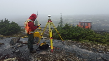
Cadastral Surveying, Oil And Gas, Three Dimensional Laser Scanning, Software Development, Residential And Commercial Development Surveys, Geomatics Engineering Surveys, Mining & Tunneling, COR Certified, Construction Surveying, Professional Land Surveyors & Geomatics Engineers, Computation And CAD Mapping, First Nations Development Surveys, Geodetic Surveying, Housing Development, Land Development, Engineering Surveying, Transportation And Infrastructure
Underhill Geomatics Ltd. (UGL) was established in Vancouver in 1913 and has operated continuously since then, providing comprehensive geomatics expertise to industry, government an...more...See more text
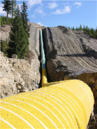
Surveying, Product Management And Inspections, Transportation And Infrastructure, Quality Control Material Testing, Pile Driving Analysis, Mining Surveys, Land Development Surveys, Building Layout Surveys, Condominium Surveys, Computation And CADD Mapping
CAP is a knowledge?based company that unites senior level professionals and young aspiring professionals in a mentorship style environment. Our goal is to combine the wisdom and ex...more...See more text
Mapping & Imagery, Transportation Infrastructure, Land Surveyors, Industrial & Resource Development, Environmental, Geotechnical Engineering, Community Infrastructure
Opus Stewart Weir offers leading edge engineering, environmental and geomatics consulting services across Canada and beyond.
At Opus Stewart Weir we talk a lot about ‘Embracing the...more...See more text